ResQAI – AI Crisis Intelligence System
Emergency dispatch intelligence system bridging citizen distress calls and first responders
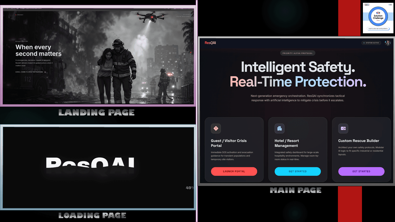
ResQAI – AI Crisis Intelligence System
Emergency dispatch intelligence system bridging citizen distress calls and first responders
How It Connects
ResQAI is an end-to-end emergency intelligence system engineered to coordinate rescue operations during natural disasters and medical crises. Citizens submit emergency reports with location data, severity descriptors, and optional image/voice evidence. The backend processes the report through an automated severity classification model, correlates concurrent incidents within geographic clusters, and broadcasts high-priority incident dispatches to emergency service dashboards via WebSockets. An interactive GIS map plots active distress signals with triage color codes.
Components
System Components
How It Works
Emergency Signal Trigger
Citizen submits emergency category (Medical, Fire, Flood), description, and captures GPS coordinates.
Triage & Severity Classification
Evaluates keywords, urgent distress indicators, and incident types to calculate a Priority Score (1-10).
Spatial Clustering & Deduplication
Groups reports within a 500m radius occurring within 15 minutes of each other.
Real-Time WebSocket Broadcast
Pushes the incident immediately to all responder command dashboards in the affected jurisdiction.
Unit Deployment & Status Tracking
Dispatcher reviews incident on GIS map and assigns nearest emergency vehicle.
Emergency Signal Trigger
Citizen submits emergency category (Medical, Fire, Flood), description, and captures GPS coordinates.
Triage & Severity Classification
Evaluates keywords, urgent distress indicators, and incident types to calculate a Priority Score (1-10).
Spatial Clustering & Deduplication
Groups reports within a 500m radius occurring within 15 minutes of each other.
Real-Time WebSocket Broadcast
Pushes the incident immediately to all responder command dashboards in the affected jurisdiction.
Unit Deployment & Status Tracking
Dispatcher reviews incident on GIS map and assigns nearest emergency vehicle.
Technical Breakdown
Granular architectural layers, runtime dependencies, and audited production decisions.
- React with high-contrast UI tokens designed for high-stress visibilitycopy
- Leaflet GIS mapping with custom dynamic pulsing SVG markerscopy
- Audio alert chimes for incoming Code Red dispatchescopy
- Node.js & Express RESTful servicescopy
- Socket.io engine managing persistent bi-directional responder connectionscopy
- Spatial clustering utilities using Haversine distance computationscopy
Engineering Tradeoffs & Key Decisions
Why this architecture over alternativesSocket.io WebSockets over HTTP Polling
Implemented real-time WebSocket communication for dispatcher dashboards.
Emergency dispatchers cannot afford 10-second polling delays; live push updates save critical response time.
Spatial Cluster Deduplication
Aggregated incoming distress tickets based on GPS proximity and timestamp windows.
Mass public incidents (e.g., building fires) generate duplicate calls that drown dispatchers in redundant tickets.